Top Spur
Thu Oct 18, 2018 6:32 amTimberline Trail and Pacific Crest Trail converge near Top Spur Trailhead.

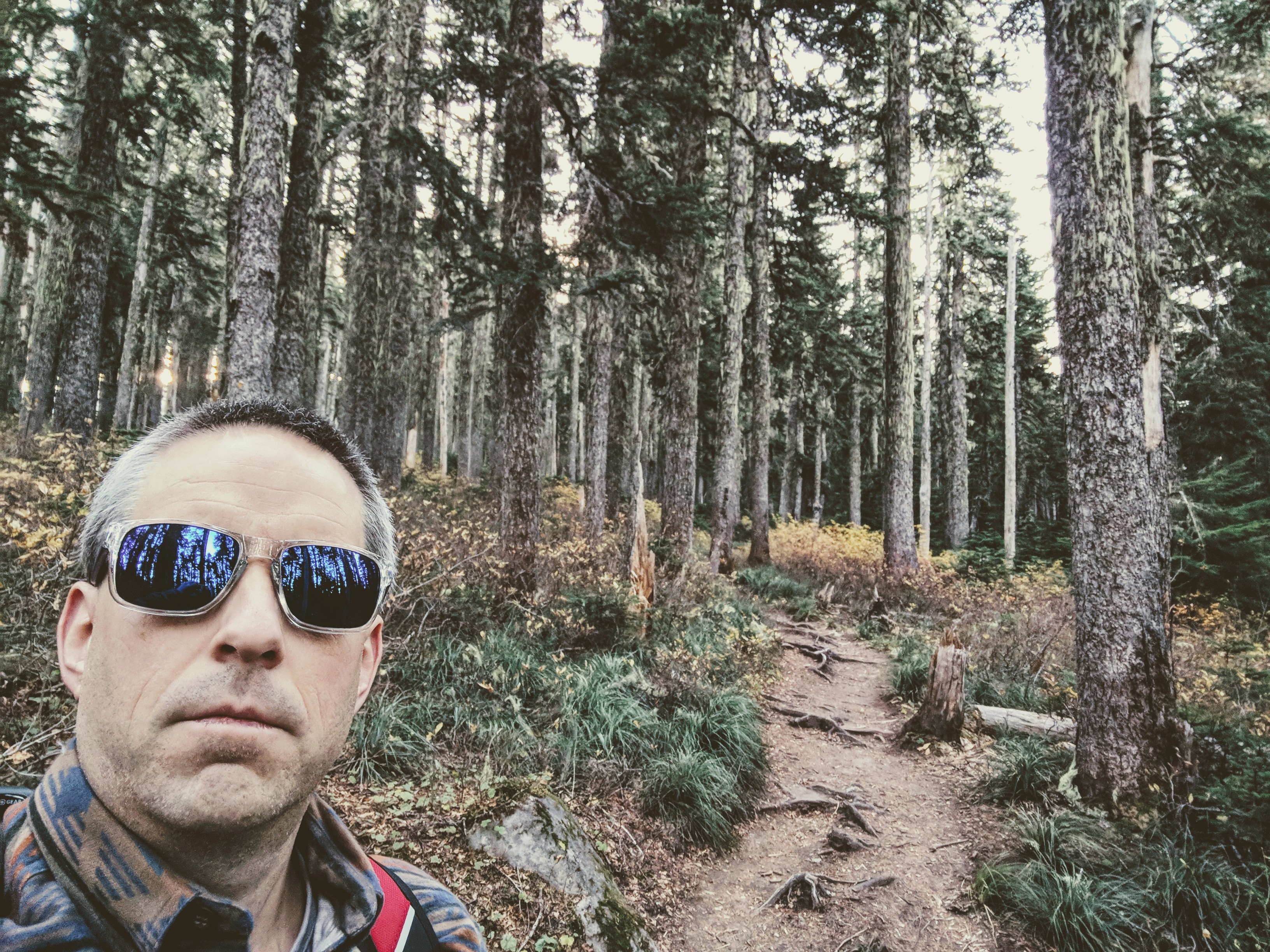
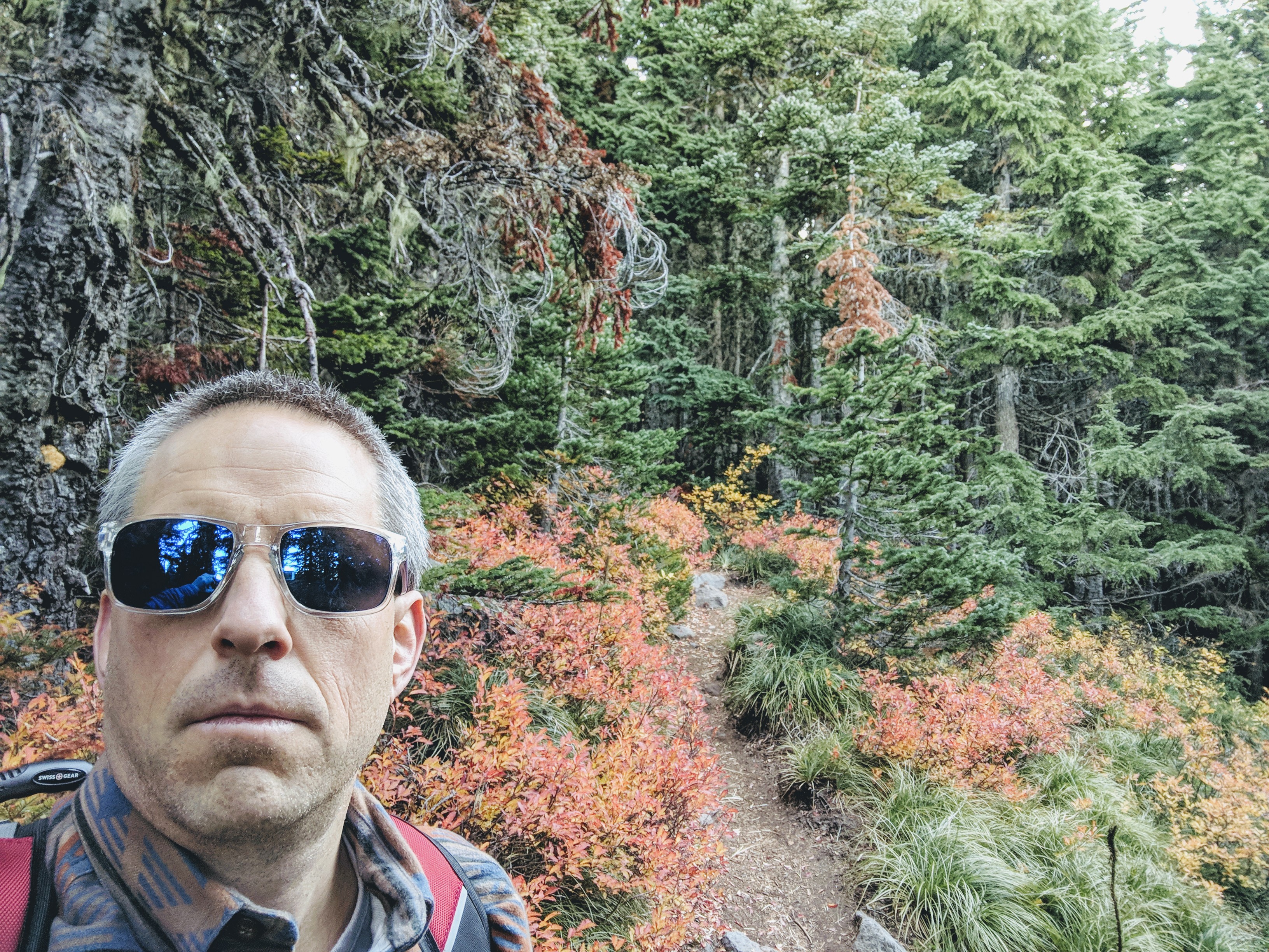
Heading south on Timberline Trail from Top Spur Trailhead the trail hugs a cliff beneath a rocky outcrop.


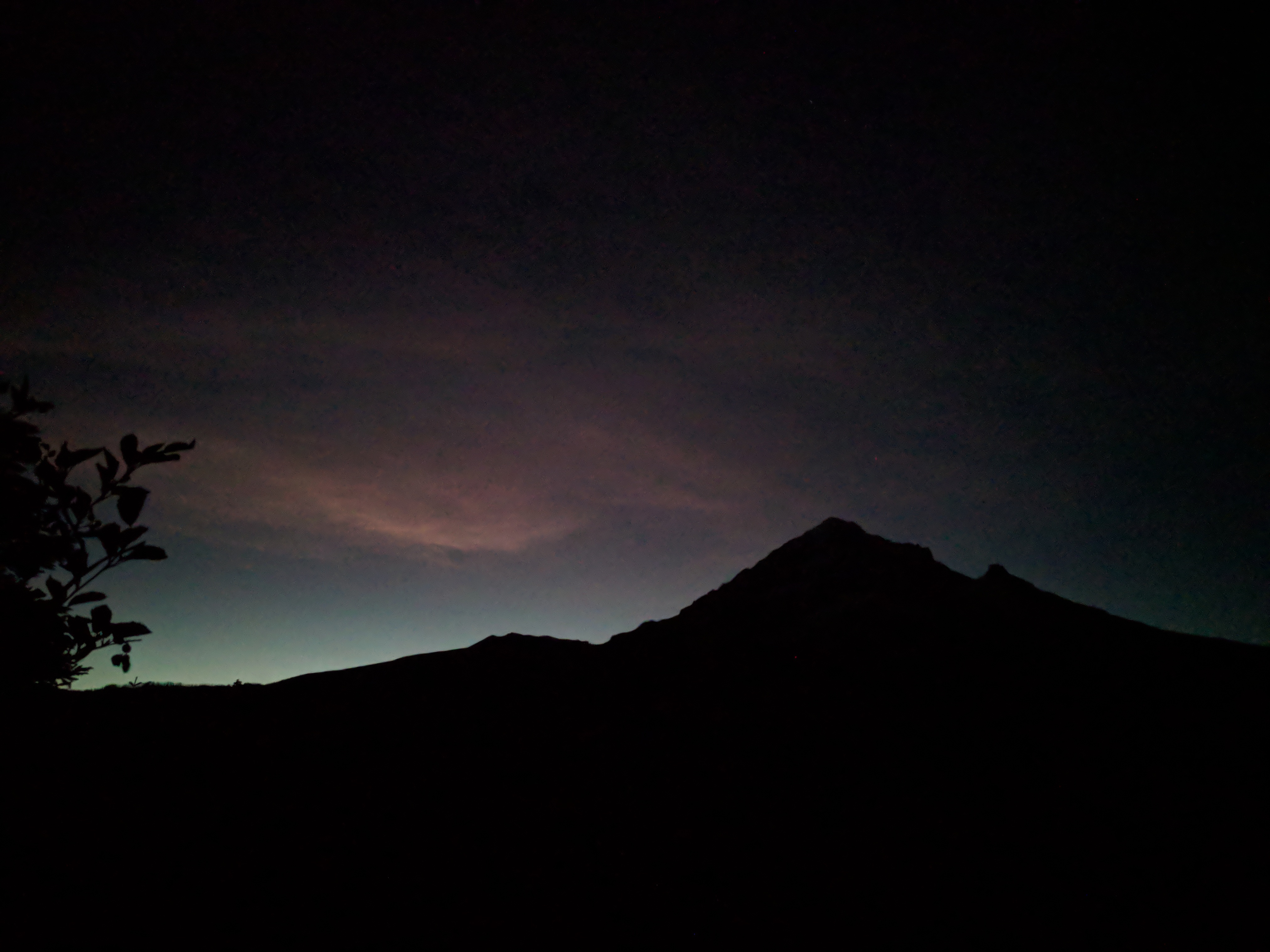
Where Timberline Trail nears Top Spur Trailhead, it loops around a rocky outcrop. These photos are from the top.
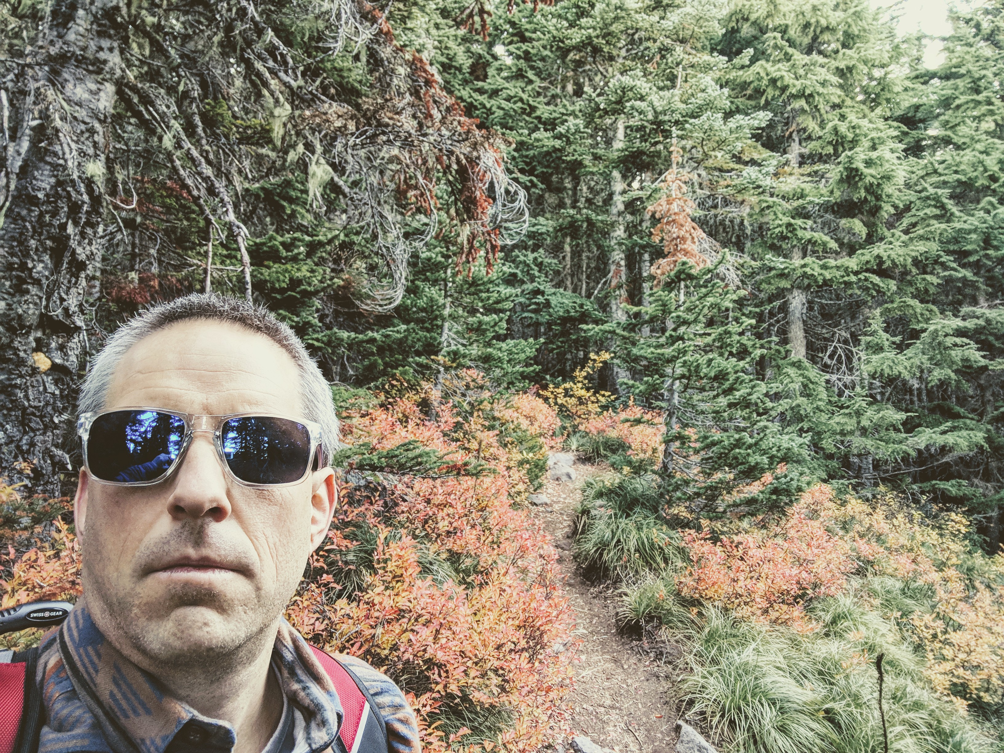
I don’t have gps exif data for this photo, for some reason. But I believe it is a trail leading to the summit of the outcrop previously mentioned.
Perhaps this map is helpful.
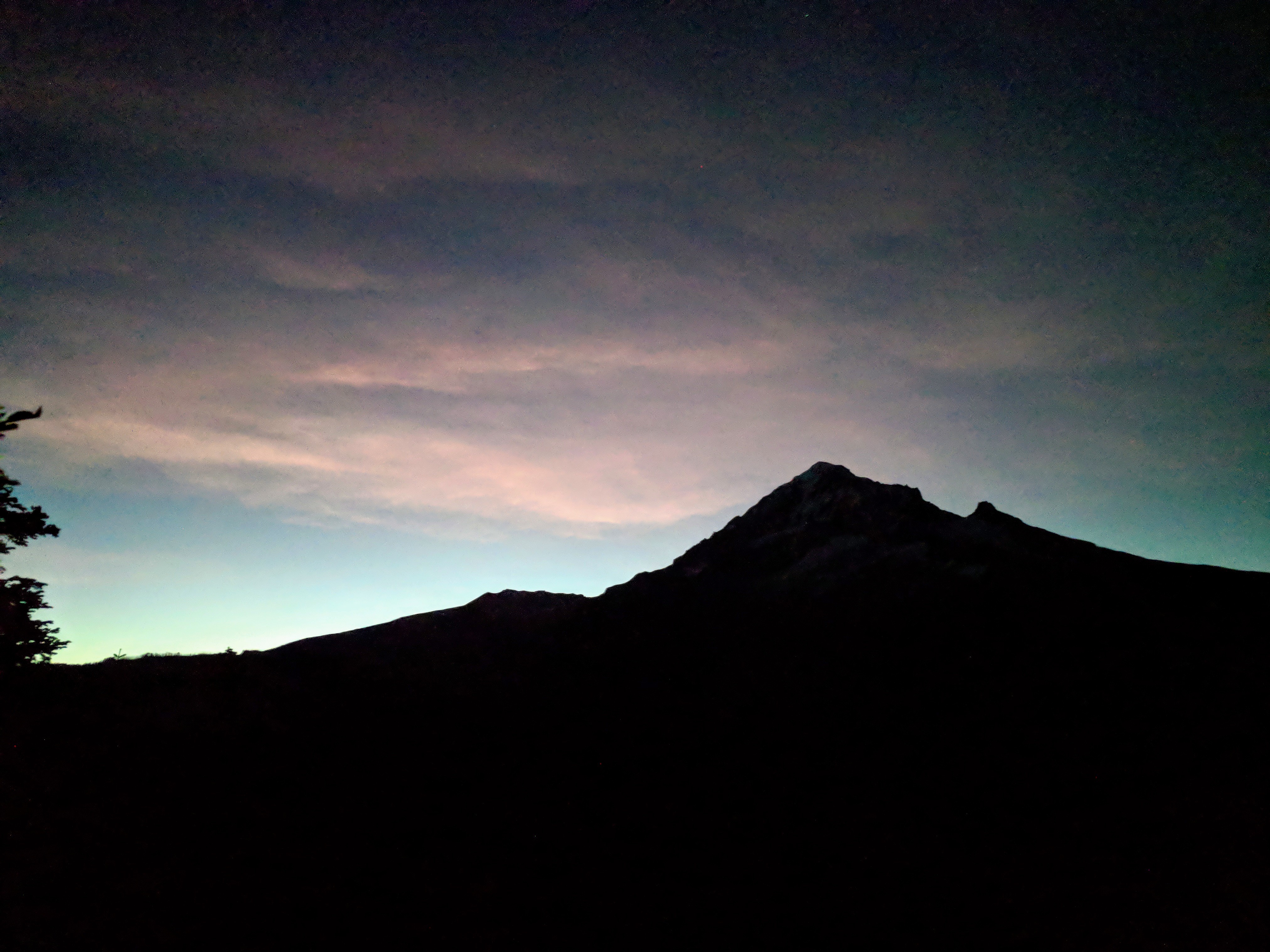
After watching the sun rise over Mt Hood, I turned around and headed north on Timberline Trail.