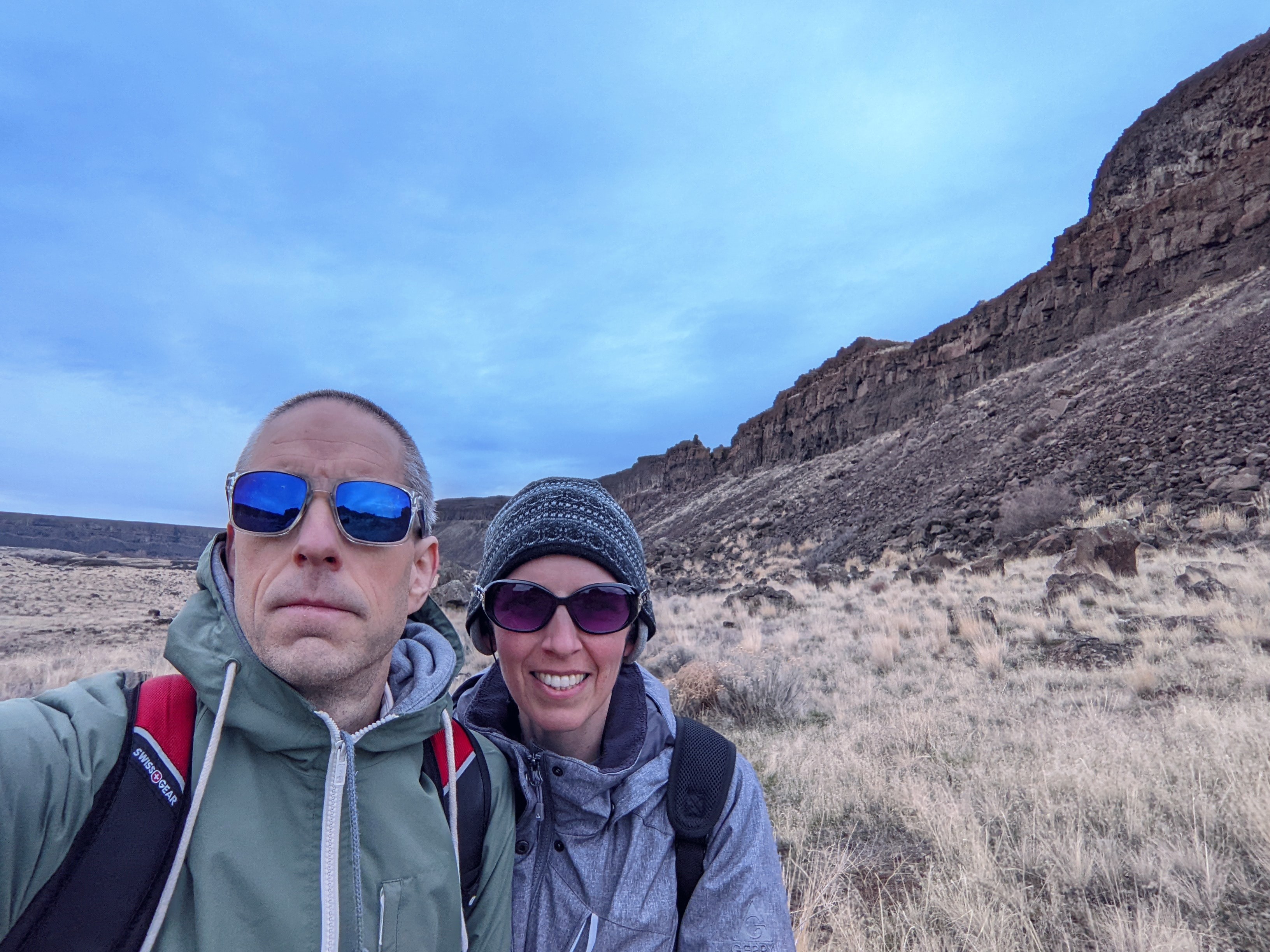
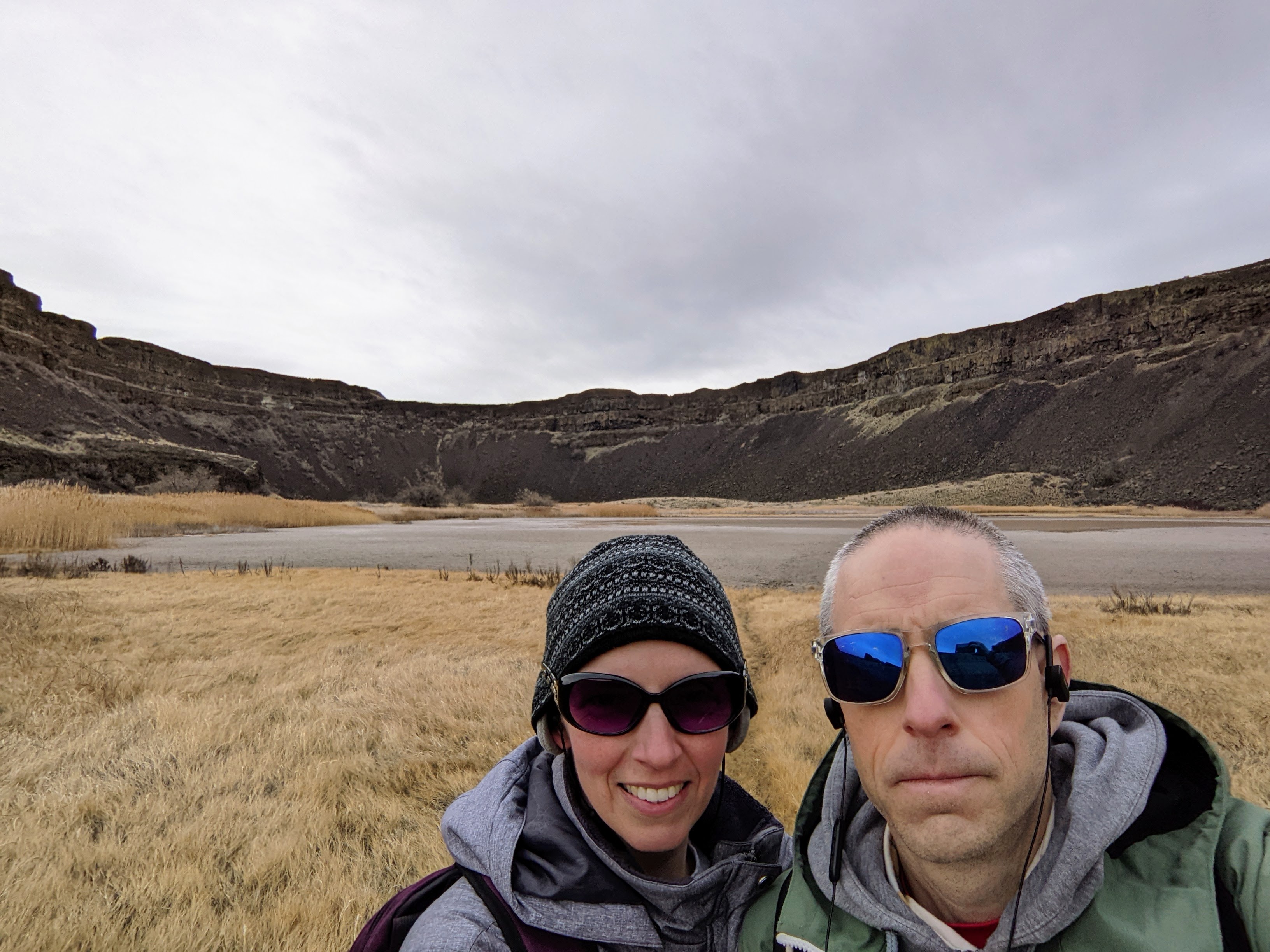
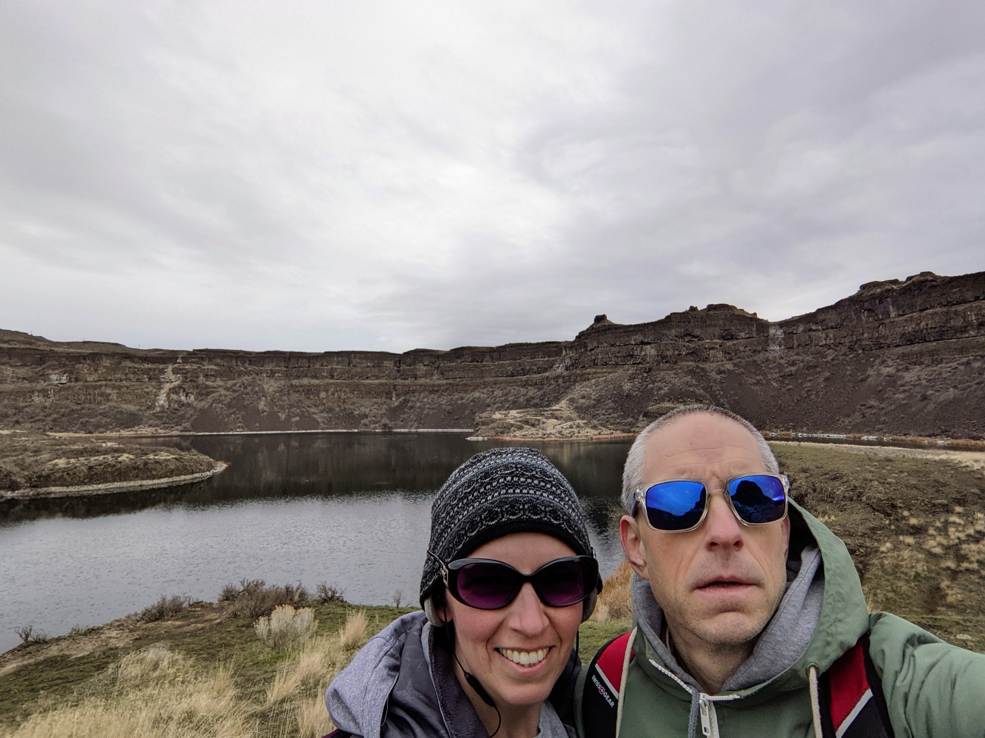
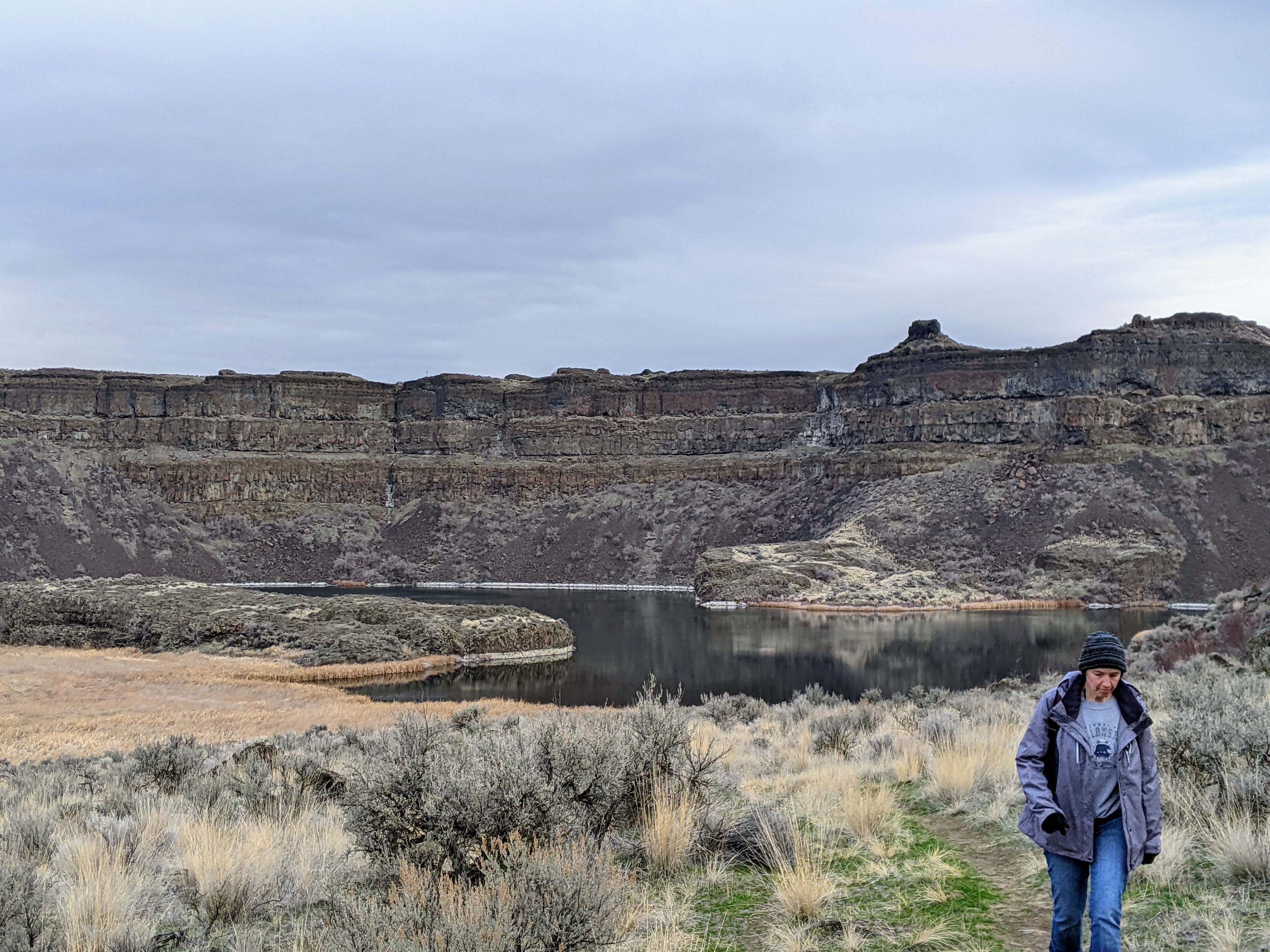
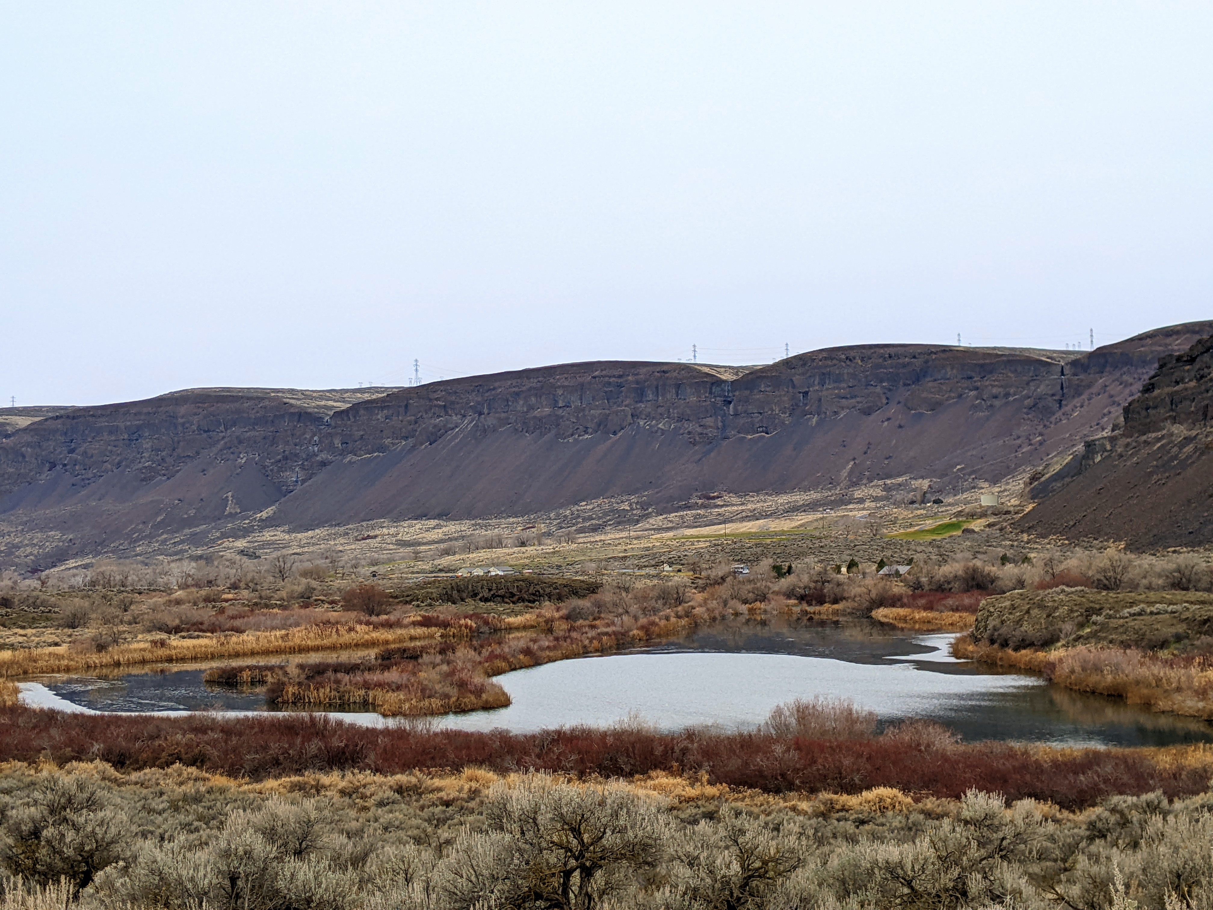
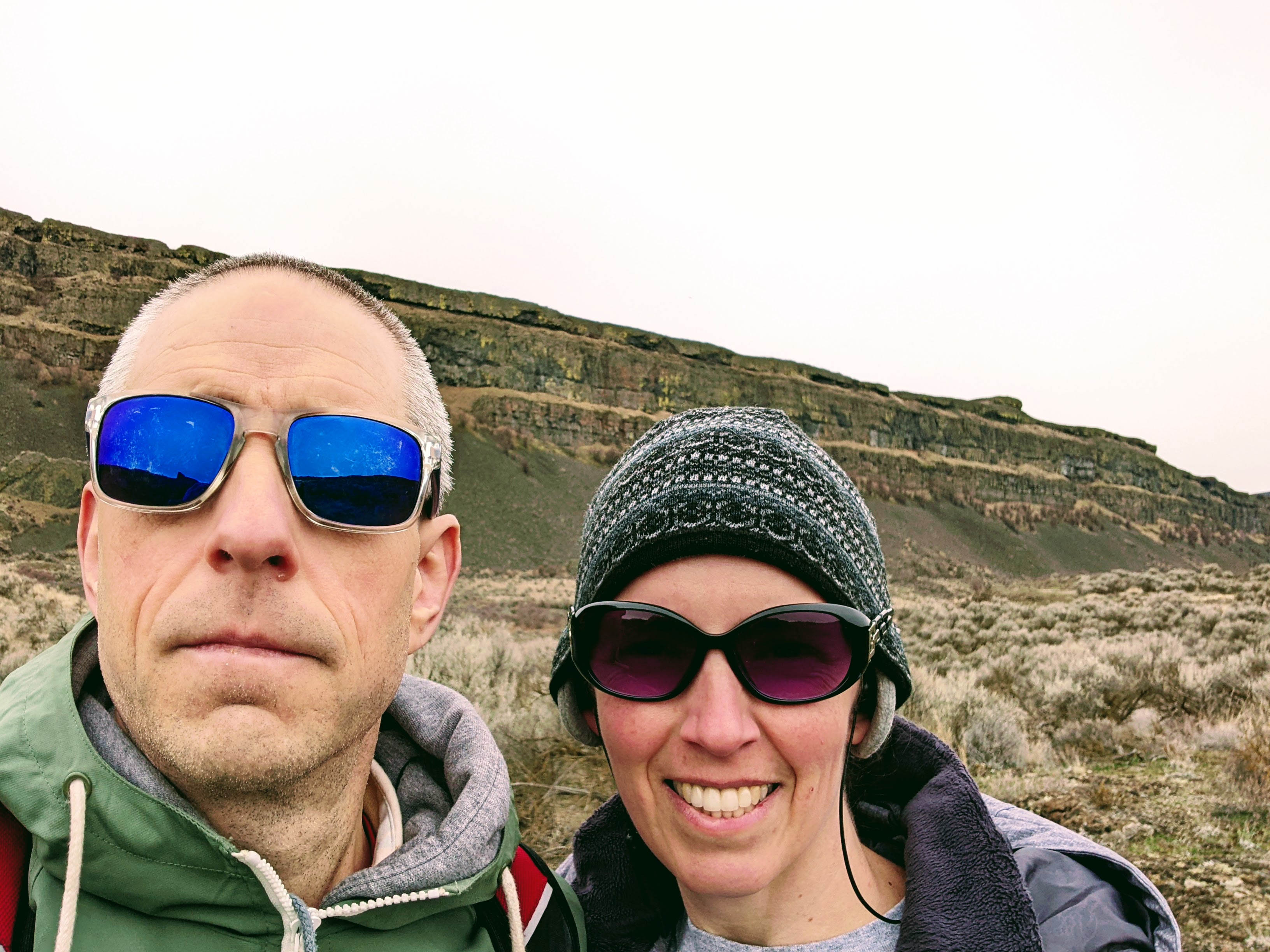
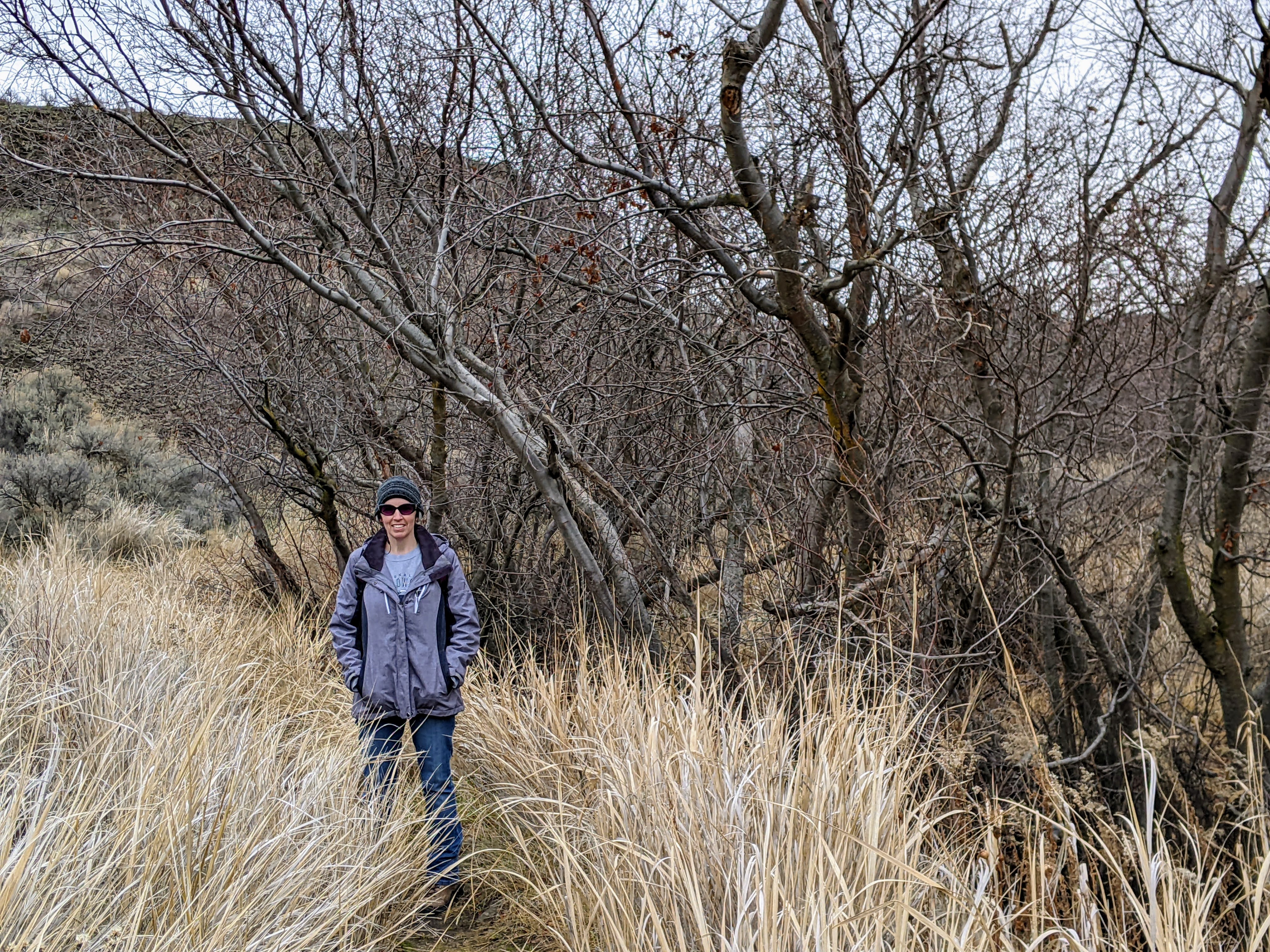
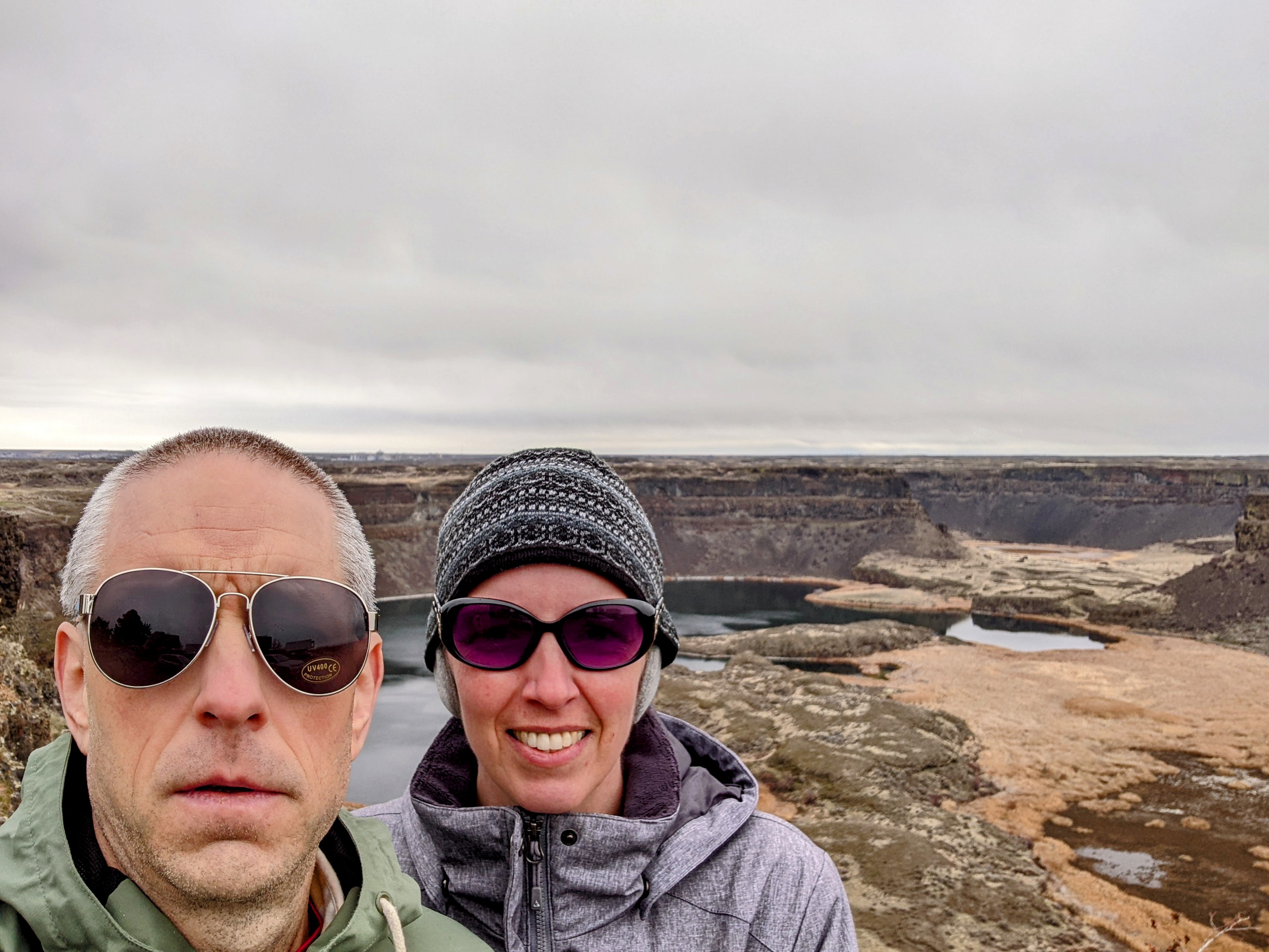
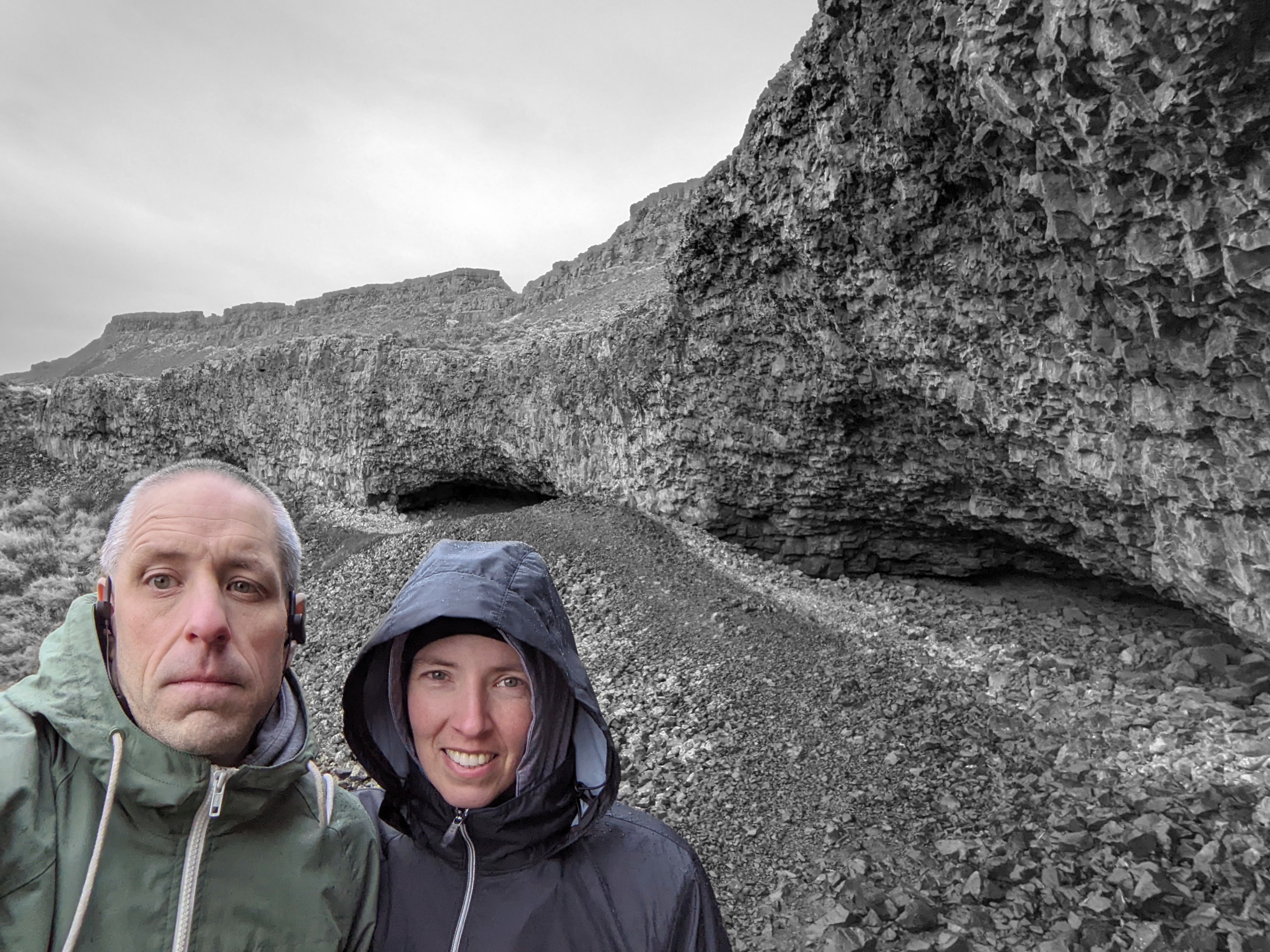
Dry Falls
Mon Dec 13, 2021 10:00 amAt 3.5 miles long and 400 feet high, Dry Falls is a bucket-list hiking destination.
Umatilla Rock is a major feature of Dry Falls, running north to south between the two arms of the basin.
One theory is that Dry Falls was formed by the Younger Dryas Impact 13,000 years ago, in which a meteor broke up and collided with the North American Ice Sheet, which at the time was 3 miles thick, melting it practically over-night, abruptly ending the last Ice Age, raising the sea level 400 feet, and wiping out all the Pleistocene Megafauna.
That really makes all the hand-wringing over Anthropogenic Global Warming seem obnoxiously silly, doesn’t it?
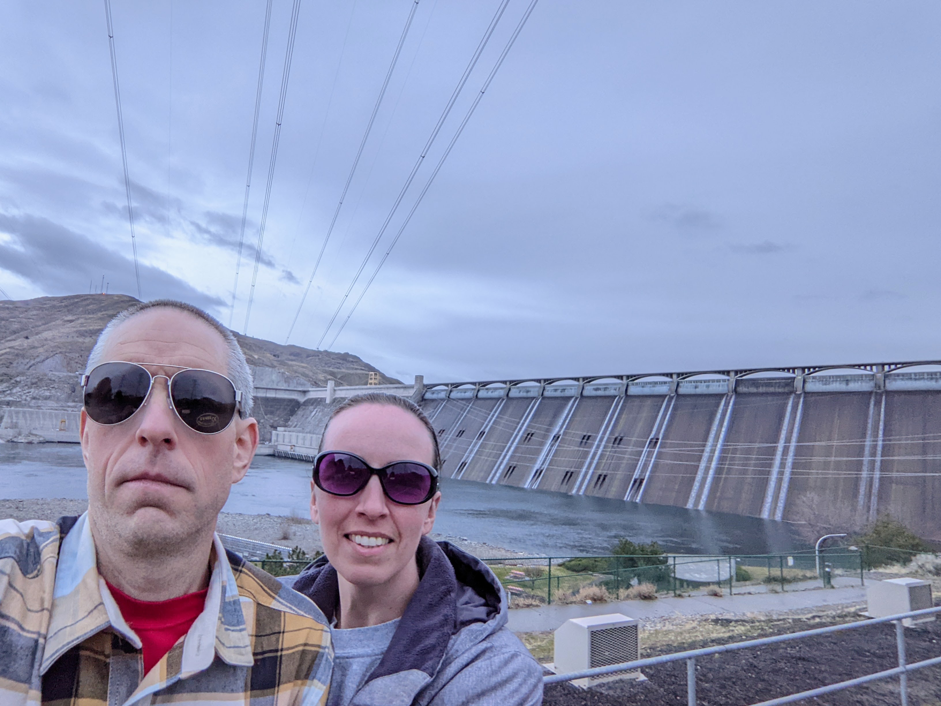
For scenic driving, you can’t beat the drive alongside Banks Lake, heading up towards Grand Coulee Dam.